If you read nothing else
- Timanfaya was declared a National Park by a decree of August 9, 1974, and it covers about 51 square kilometers (20 square miles).[1][2]
- Independent entry tickets for Montañas del Fuego are sold online only and for a specific time slot, and the standard adult ticket costs 30.00 EUR.[3][4]
- The Centro de Visitantes e Interpretación de Mancha Blanca is open Monday to Sunday, 9:00 to 16:00, and its exhibition is free to enter.[5][6]
- At Islote de Hilario the surface temperatures reach around 250 ºC, and they can even reach more than 600 ºC, 13 m deep.[7]
- The Timanfaya Park, Jameos Agua, & Cueva Verdes Tour lasts 9 hours, from US$102, with 61 pickup location options.[8]
- Top choice Timanfaya, Jameos & Caves from US$102 Duration9 hours[8]Rating4.47 from 2,662 reviews[8]Guide languagesEnglish, French, German, Spanish[8]Pickup detailsCheck availability for details[8] Check availability
- Timanfaya and Caves + Lunch from US$109 Duration9 hours[9]Rating4.52 from 531 reviews[9]Guide languagesSpanish, English, French, German[9]Pickup detailsCheck availability for details[9] See this tour
- Timanfaya Park Tour from US$68 Duration6 hours[10]Rating4.40 from 885 reviews[10]Guide languagesEnglish, Spanish[10]Pickup detailsCheck availability for details[10] See this tour
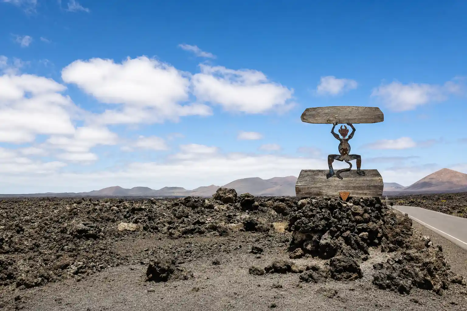
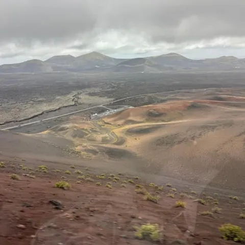
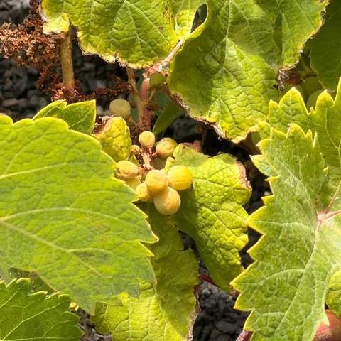
Nowadays, on the surface the temperatures reach around 250 ºC, and they can even reach more than 600 ºC, 13 m deep.
Is the Timanfaya day worth booking?
Tickets and timing
A volcanic landscape born from fire
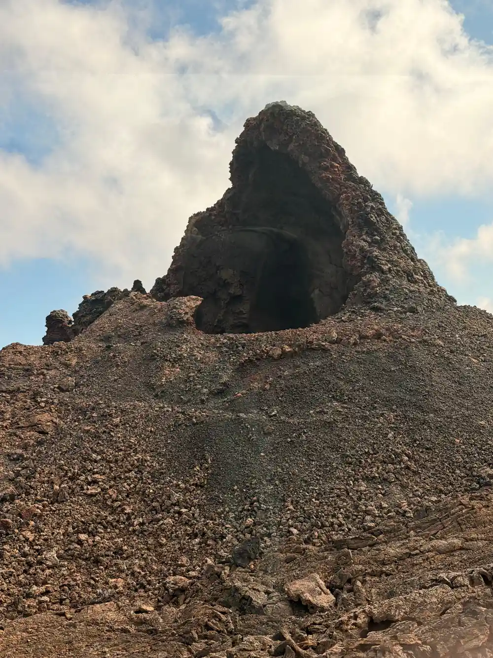
Lanzarote's fire mountains were built by eruptions that rearranged the south of the island, burying farmland and villages under lava and ash. What you drive through today is raw ground: fields of black slag, rust-coloured cinder cones, pale pumice and long cracks where the wind funnels through. Timanfaya was declared a National Park by a decree of August 9, 1974.[1] It covers about 51 square kilometers (20 square miles).[2]
The scale takes people by surprise. From the road the lava looks flat, then a cone rises and the ground opens into a basin of black rock with islands of older, redder stone standing above it. Several films inspired by other planets have been filmed in Timanfaya, including Enemy Mine, Krull, Mission Stardust, Stranded and Operation Ganymed.[12]
Almost nothing grows on the newest lava. What you get instead is colour and texture: olive-green lichen on the older flows, orange and ochre patches where iron has weathered, and dust drifting across the road in the wind. Bring water, a hat and shoes with grip, and expect fine volcanic dust on everything by the end of the day.
The Route of the Volcanoes: what you see from the coach
The classic way to see the park is from a bus rather than on foot. The Route of the Volcanoes at Timanfaya National Park has adapted coaches.[11] The circuit climbs through the ash fields and pauses at viewpoints over craters, tongues of solidified lava and wide basins between the cones. It keeps rolling for much of the route, so keep a camera within reach.
On-board commentary explains what you are looking at, and the route crosses ground that visitors cannot walk. The view changes with the light: cones throw long shadows across the ash in the morning, and the lava picks up a copper glow later in the day. Look for the contrast between black basalt flows and the reddish, oxidised cones above them.
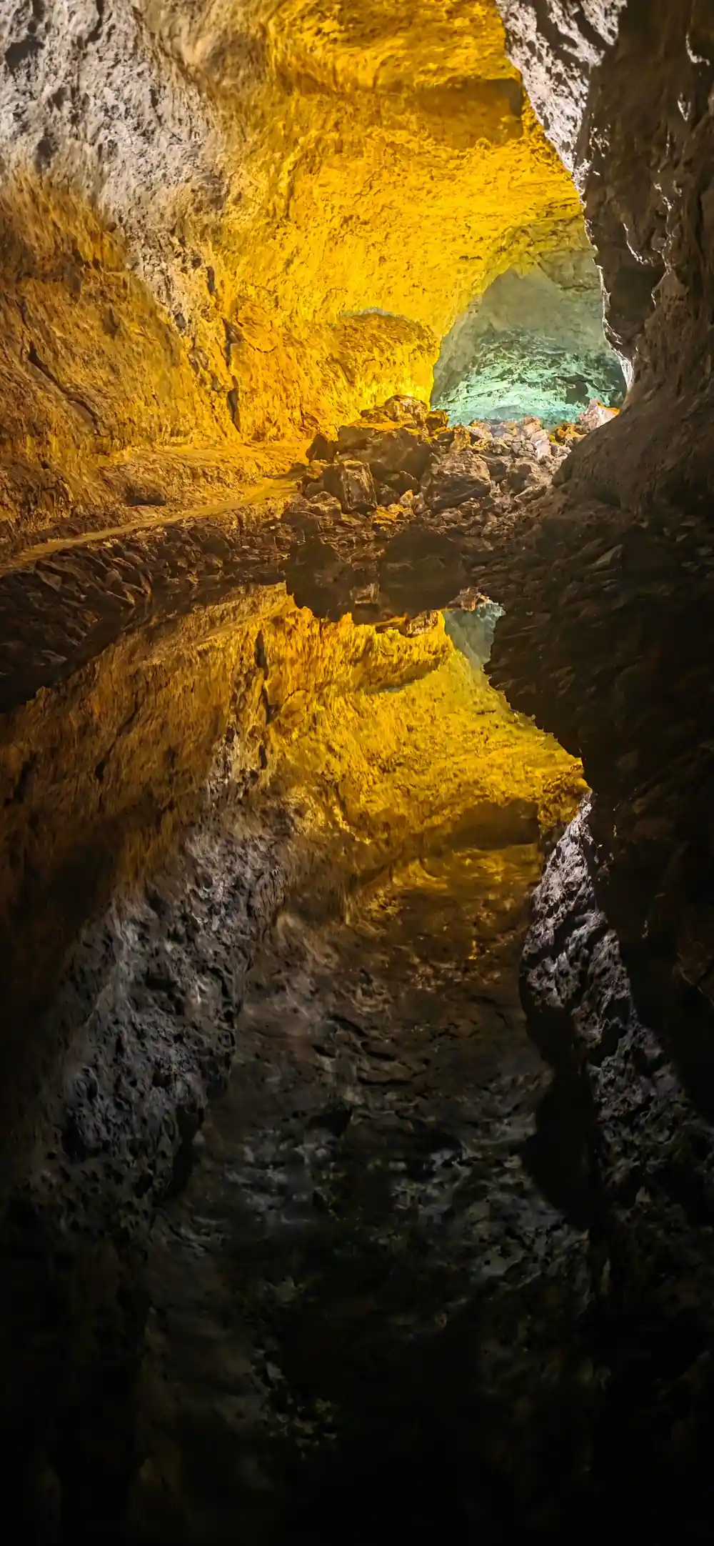
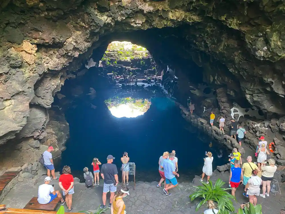
A full-day tour can link the park with the caves in the north of the island. The Lanzarote: Timanfaya Park, Jameos Agua, & Cueva Verdes Tour lasts 9 hours and takes in Timanfaya National Park, Cueva de los Verdes and Jameos del Agua.[8] It includes free cancellation up to 24 hours in advance for a full refund.[8] Pack layers: the coast can be warm and breezy while the ash fields inland feel cooler and windier.
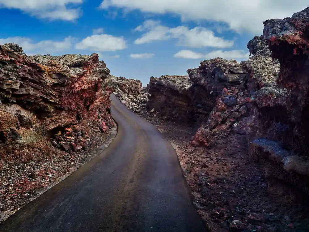
Ash fields, cinder cones and long shadows on the road through Timanfaya.
Why walking is limited, and which routes you can join
This is not a park for wandering at will. The coach circuit covers the ground most people see, and the walking that exists is done with a guide. One route gets you closer: the Termesana Route allows visitors to come into close contact with the volcano and the culture of Lanzarote's inhabitants during the 1730-1736 eruptive period.[13]
Guided routes vary in length and difficulty, and a local guide explains the eruption history and the farming that survived around the ash. Wear closed shoes with grip on any walk, carry water, and leave time afterwards for a cold drink in one of the villages on the way back.
The park sits inside a working landscape. Vineyards around La Geria grow in hollows scooped from volcanic ash and sheltered by low stone walls, and villages at the edge of the lava field still farm the surrounding ground. A guided hike between the vineyards and the volcanoes is listed from US$50.[14]
Peak seasons and queue times at the ticket line
Timanfaya is one of the island's headline sights, and the access road carries both cars and coaches. Tickets for independent entry to Montañas del Fuego can only be purchased online and for a specific time slot.[3] Booking ahead fixes your arrival window.
Several tours advertise a way round the ticket line. An express option from Yaiza lasts 2 hours and includes skip the ticket line.[15] A second express tour, 3 hours long, includes skip the line through express security check.[16] A 5-hour tour includes skip the ticket line and is rated 4.35 from 2,523 reviews.[17]
If you are driving, aim for the first slots of the morning or the later part of the afternoon, when the light is low and the parking areas are quieter. Water, a hat and sun protection matter here: there is almost no shade anywhere along the route.
from US$102
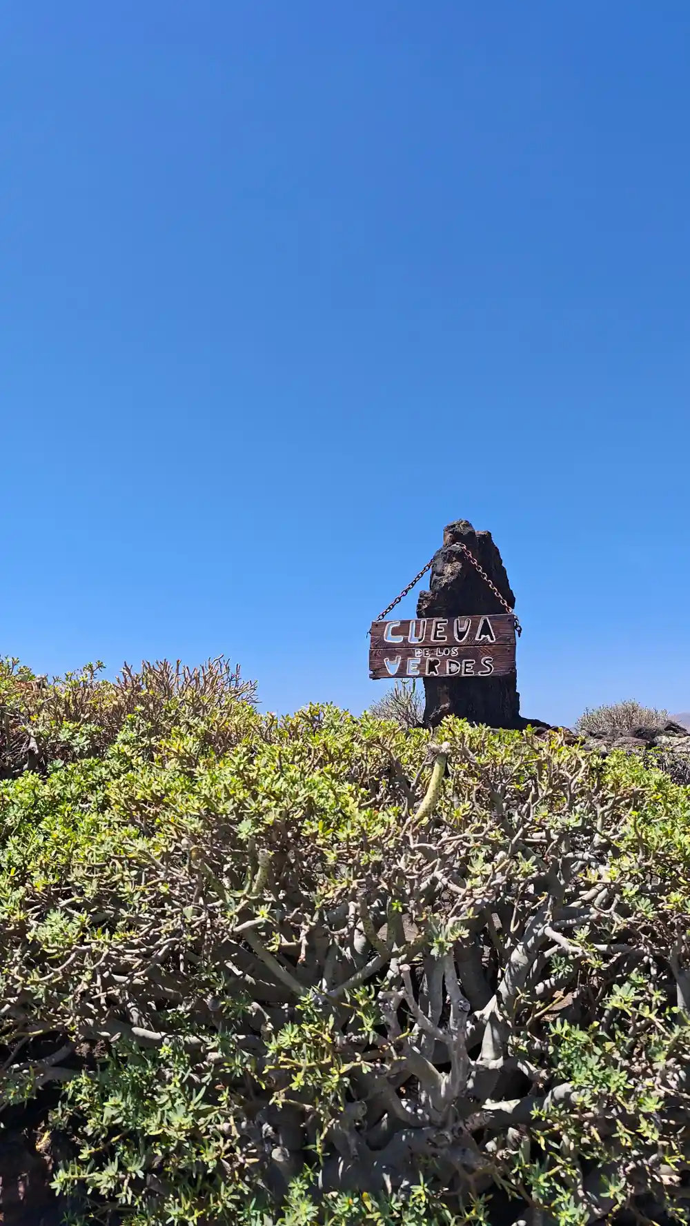
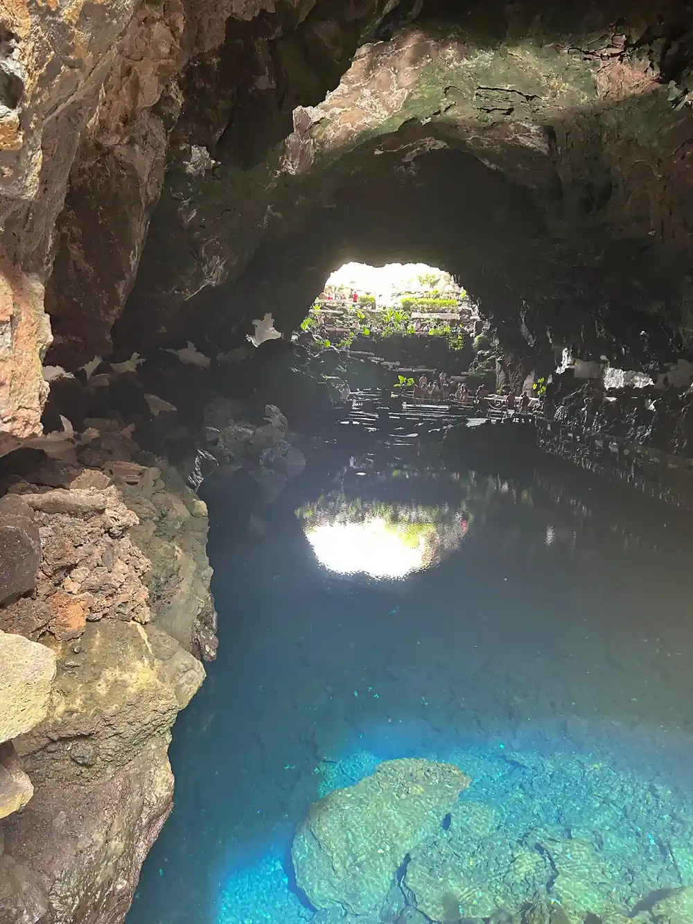
One day covers Timanfaya, Cueva de los Verdes and Jameos del Agua in 9 hours, with pickup and skip the ticket line.[8]
Islote de Hilario: the visitor hub on the volcano
The hub of the visit is Islote de Hilario, an island of older rock standing in the lava field. At Islote de Hilario, surface temperatures reach around 250 ºC, and they can even reach more than 600 ºC at 13 m deep.[7] You can feel the warmth through the soles of your shoes, and the bare rock around the viewpoint is warm to the touch.
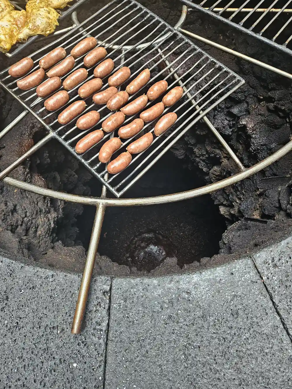
El Diablo Restaurant sits at this stop. Its volcanic oven uses natural heat from the subsoil, where temperatures exceed 600 °C just 15 meters below the surface, and meat and vegetables are cooked without fire or electricity, directly on a grill placed over an open cavity in the rock.[18] The terrace outside is the usual photo stop before the coach turns back down the hill.
Bring a lens you do not have to change. The station sits at an open, dusty height, and the mix of fine ash and steady wind is hard on camera gear. A cloth or a plastic bag in your pocket is worth the space.
Where the park entrance sits and how entry works
The entrance to Montañas del Fuego sits inland in the south of Lanzarote, up a road that turns off from the Yaiza area. Puerto del Carmen and Timanfaya National Park are about 22 km apart directly, with a road distance of about 23.5 km.[19] Public transport reaches the villages rather than the gate: Line 60 passes through Yaiza on its route between Arrecife and Playa Blanca.[20]
Entry works in two ways. Tickets for independent entry to Montañas del Fuego can only be purchased online and for a specific time slot.[3] The standard adult entrance ticket for Montañas del Fuego (Timanfaya) costs 30.00 EUR.[4] Guided tours fold the entrance arrangement into the day, and the Lanzarote: Timanfaya Park, Jameos Agua, & Cueva Verdes Tour includes skip the ticket line.[8]
That full-day tour also includes pickup, with 61 pickup location options and 61 drop-off locations.[8] Check the availability list for the pickup point nearest where you are staying, and note that free cancellation is available up to 24 hours in advance for a full refund.[8]
Planning your visit: timing and practical tips
The Centro de Visitantes e Interpretación de Mancha Blanca is open Monday to Sunday from 9:00 to 16:00.[5] The visitor centre there gives free access to its exhibition and audiovisual programme.[6] It is a sensible first stop if you want the eruption story set out before you reach the lava fields, and it works well on a cloudy or windy morning.
For the park itself, plan around heat and light. Early starts bring cooler air and softer light on the cones; late afternoons bring long shadows and warmer tones across the ash. A hat, water, closed shoes with grip and a light windproof layer cover most days, and the camel ride at the Timanfaya station lasts approximately 20 minutes if you want a break from the bus.[21]
If you would rather see everything in one sweep, the Lanzarote: Timanfaya Park, Jameos Agua, & Cueva Verdes Tour lasts 9 hours and takes in Timanfaya National Park, Cueva de los Verdes and Jameos del Agua, with 61 pickup location options and live commentary in English, French, German and Spanish.[8] You can reserve now and pay later.[8]
Traveller ratings for Timanfaya area tours
GetYourGuide listing scores:[8] 4.47,[9] 4.52,[10] 4.40,[22] 4.76.
From prices per person
From prices per person as listed, ids[8],[9] and[10]. The listings do not quote a separate child rate.
When to plan each part of the day
Plan the Timanfaya day
Sort tickets
Independent entry to Montañas del Fuego is online only, for a specific time slot[3]
Pick your base
Puerto del Carmen and the park are about 22 km apart directly, with a road distance of about 23.5 km.[19]
Choose wheels or a walk
The coach route uses adapted vehicles, and the Termesana Route brings visitors closer to the volcano.[11][13]
Add the caves
The Timanfaya, Jameos Agua and Cueva Verdes tour links park and caves over 9 hours, pickup included.[8]
Pack for ash
Water, a hat, closed shoes with grip and a windproof layer; the camel ride takes approximately 20 minutes.[21]
See the full-day Timanfaya, caves and coast tour
from US$103Reserve now & pay later