If you read nothing else
- The 1730 to 1736 eruptions buried farmland in the south west of Lanzarote, and growers later planted vines in the ash itself.[1]
- Each vine sits in a shallow hollow covered with dark volcanic grit that catches moisture from the night air and holds it near the roots.
- Independent entry to Montañas del Fuego is online only, for a set time slot, and the standard adult ticket costs 30.00 EUR.[2][3]
- The Mancha Blanca centre opens Monday to Sunday, 9:00 to 16:00, and its exhibition and audiovisual programme are free.[4][5]
- Guided days that include La Geria range from a 3.5-hour vineyard trek to a 5.5-hour Timanfaya and La Geria coach tour.[6][7]
- Top choice Timanfaya, Jameos & Caves from US$102 Duration9 hours[8]Rating4.47 from 2,662 reviews[8]Guide languagesEnglish, French, German, Spanish[8]CancellationFree cancellation 24 hours ahead[8] Check availability
- Timanfaya & Green Lagoon from US$57 Duration2.5 - 5 hours[9]Rating4.58 from 2,154 reviews[9]Guide languagesEnglish, German, Spanish[9]CancellationFree cancellation 24 hours ahead[9] See this tour
- Timanfaya, Caves & Lunch from US$109 Duration9 hours[10]Rating4.52 from 531 reviews[10]Guide languagesSpanish, English, French, German[10]CancellationFree cancellation 24 hours ahead[10] See this tour
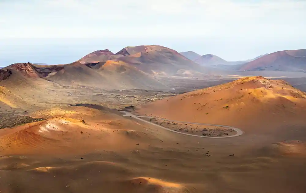
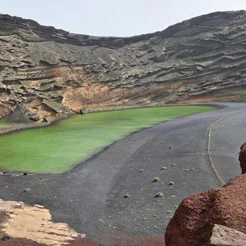
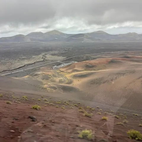
The Termesana Route allows you to come into close contact with the volcano and the culture that permeated the inhabitants of Lanzarote during the 1730-1736 eruptive period.
Worth building a day around La Geria
Prepare for the day
The eruptions that emptied an island
In the 1730s the ground south west of Lanzarote cracked open and stayed open for years. Lava poured across fields and farmsteads, ash fell until daylight went grey, and farmland that had fed the island disappeared under metres of rock and grit. The eruptive period that shaped everything you see here ran from 1730 to 1736.[1] Villages were buried, harvests were lost, and families who had worked the same plots for generations had to start again somewhere else.
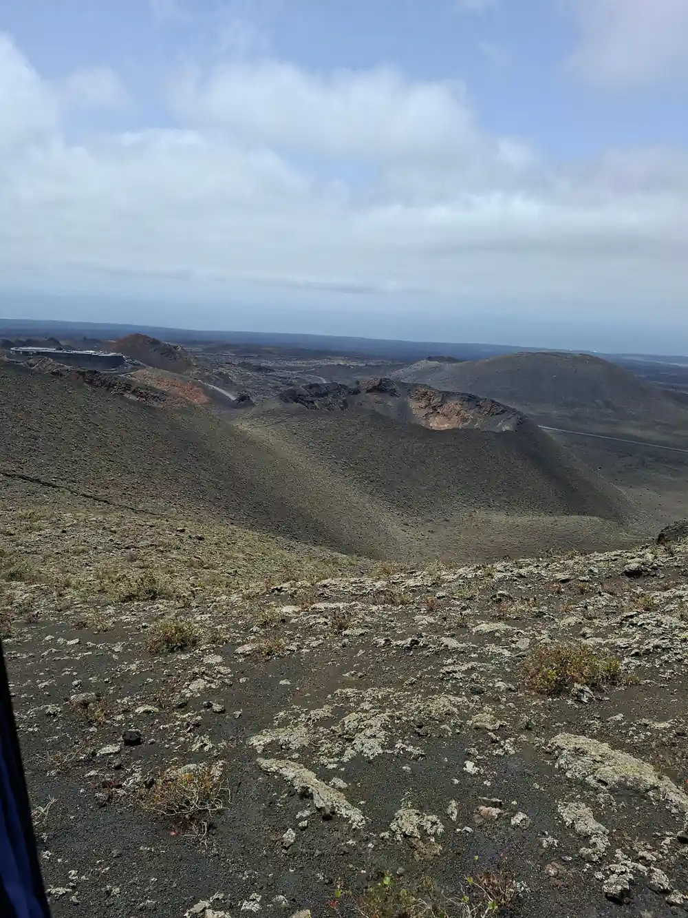
What the eruptions left behind looks like another planet. That is not just a figure of speech: several films inspired by other planets have been filmed in Timanfaya, among them Enemy Mine, Krull, Mission Stardust, Stranded and Operation Ganymed.[14] In 1974 the area was declared a National Park by a decree of August 9, 1974, published in the Official State Gazette on September 17 of the same year.[15] The park now covers about 51 square kilometers of cones, lava tongues and ash.[16]
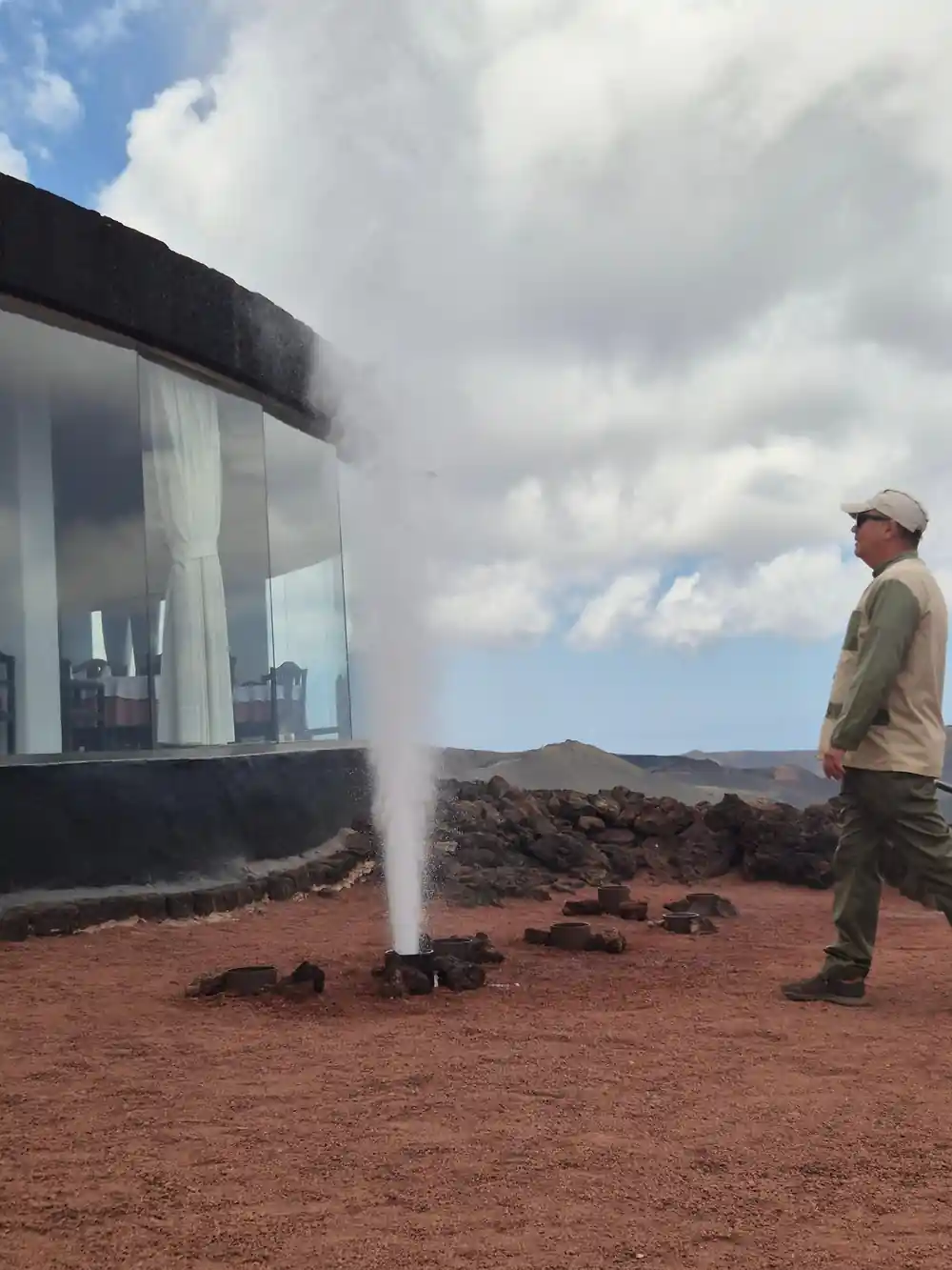
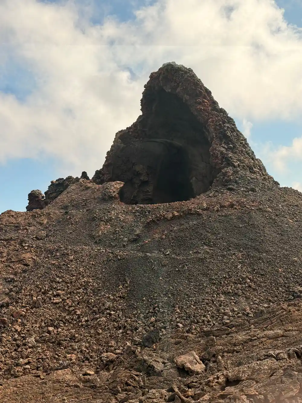
The heat underneath has not gone away. At Islote de Hilario the surface reaches around 250 ºC, and at 13 m deep it can reach more than 600 ºC.[11] Guides sometimes tip water into a borehole and it comes straight back as steam, a neat reminder that the volcano is only resting.
Why farmers went back to buried ground
Ash sounds like the end of farming, and for a while it was. But volcanic ash is not dead ground. It is full of the minerals plants need, and in a climate as dry and as windy as this one it does something unusual: it draws moisture out of the night air and holds it in the soil below. On an island with little rain, that counts for a great deal.
Nobody handed out the recipe. Farmers walked back onto land that had swallowed villages and worked out what the ash could do. There was no ordinary soil to plough and no water to irrigate, so they used what the volcano had left: grit, rock and wind. The fields around La Geria are the result, and they were laid out by hand, parcel by parcel, over generations.
The same ash that buried the old farms turned out to suit vines better than the ground it covered. Growers learned to plant in it, mulch with it and leave it alone, and the technique spread across the south west of the island. It is still the way wine is grown here.
Vines in hollows of black ash at La Geria, with a line of volcanic cones behind.
The picon blanket that holds the dew
The method is easy to describe and hard to believe until you see it. A grower digs a shallow bowl in the ash, wide enough for one vine and deep enough to reach the cooler layer underneath. The vine goes in at the bottom of the hollow, and the whole bowl is then covered with picón, the loose volcanic grit that lies across this part of the island.
That grit does several jobs at once. It shades the soil, slows evaporation and gives the night dew something to condense on, so moisture trickles down towards the roots instead of drying off in the morning sun. The roots push down through the ash, and the vine keeps going through a summer that would finish it in open ground. The same idea turns up in gardens across the island, on a much smaller scale.
Picón has to be kept clean. Weeds are pulled by hand; a tractor would mix the grit into the soil below and undo the arrangement. It is slow work, and it explains why the plots here are small, irregular and edged with low walls rather than laid out in long rows.
Semicircular walls that shelter the vines
Wind is the second problem. The trade winds that keep Lanzarote comfortable will strip moisture from a leaf and snap young shoots, and there is nothing on the ash plain to slow them down. Growers answered with stone. Around many hollows stands a low wall of dry volcanic rock, built in a curve or a horseshoe with an opening left on one side, so the wind is broken without being stopped completely.
Seen from a viewpoint, the fields read as a pattern of crescents fitted together, each one holding a single vine and its blanket of grit. Every wall was lifted by hand from the same black rock that covers the ground, and repairs are made stone by stone. From a coach window the scale is easy to miss; it lands properly when you stand beside a wall and work out how much of the landscape was assembled by people.
A good place to see the pattern is from the road between Uga and Yaiza, where the fields open out below the cones. On foot, a vineyard track brings the walls to eye level, with grit crunching underfoot and the smell of warm dust. Look for the small openings in each crescent, all of them facing the same way across the slope.
from US$102
The day booked from this site runs 9 hours from Timanfaya to Cueva de los Verdes and Jameos del Agua, with pickup at 61 locations.[8]
Malvasia and the wines of Lanzarote
The grape most closely tied to these hollows is Malvasia Volcanica, a white variety that keeps its freshness in the heat and picks up a faint salty, smoky character from the ground it grows in. Sweet Malvasia has a long history in the Canaries, and growers here have brought the style back alongside dry whites and reds made from other island varieties.
Wine from these hollows is sold largely on the island, so a tasting at one of the bodegas around La Geria is a good way to spend an hour after the park. If you would rather walk the fields than sit indoors, there are guided options: a trek between the volcanoes and the vineyards takes 3.5 hours and starts from US$50.[6] It is a close-up look at the hollows that a coach circuit can only skim.
Tastings are informal, often a few young wines, a sweet Malvasia and a short walk to the edge of the plot where the hollows begin. The vineyards are small and family run, and several of them open by arrangement, so it pays to plan a visit rather than turn up.
What else grows in the ash
Vines are not the only crop. Onions, potatoes, tomatoes, melons and figs all grow in ash hollows on the island, and the fields change colour through the year as crops are planted and lifted. Aloe grows along the roadside, and prickly pear hedges still mark old plot boundaries.
Volcanic heat is used for cooking as well as growing. At El Diablo, the restaurant in the park, meat and vegetables are cooked without fire or electricity on a grill set over an open cavity in the rock, using natural heat from the subsoil, where temperatures exceed 600 °C just 15 meters below the surface.[17] Elsewhere in the park, at Islote de Hilario, the surface itself reaches around 250 ºC.[11]
Nothing about this is instant. A vine planted in a fresh hollow takes years to settle, and the walls need patching after winter gales. Yet the system has outlasted the eruption that made it necessary, and the fields are still worked in much the same way, with hand tools, wheelbarrows and a great deal of patience.
La Geria, Lanzarote: in the coach window
La Geria lies among the villages of the south west, close to the park. From Puerto del Carmen the distance to Timanfaya is about 22 km in a straight line and about 23.5 km by road.[18] Public transport only gets you part of the way: line 60 passes through Yaiza on its route between Arrecife and Playa Blanca.[19] A guided day through Timanfaya and the south is a straightforward way to see the ash fields as well as the craters.
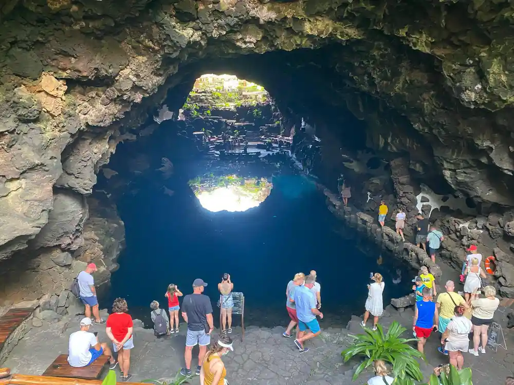
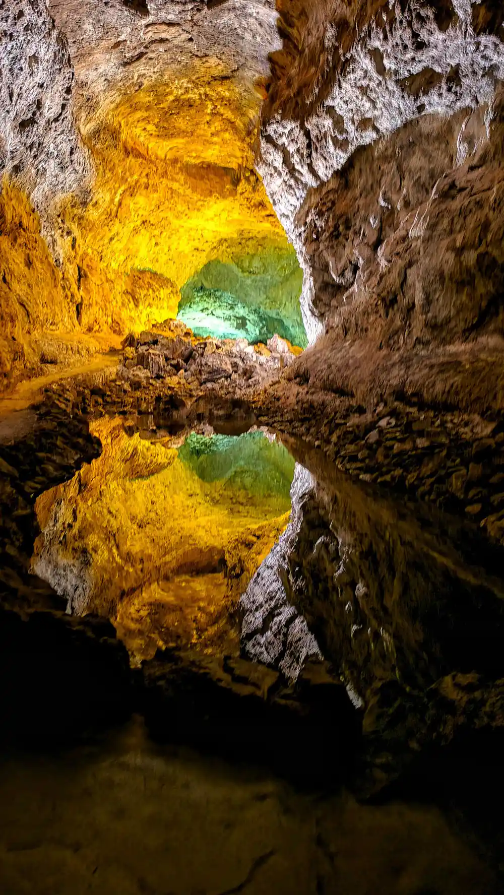
Coach days that include La Geria come in different lengths and prices. A Timanfaya National Park and La Geria tour takes 5.5 hours and starts from US$73, with pickup at 24 locations.[7] A Timanfaya Park and Lago Verde day lasts 8 hours, starts from US$80 and also calls at La Geria.[20] The tour booked from this site runs 9 hours and covers Timanfaya, Cueva de los Verdes and Jameos del Agua, from US$102, with pickup at 61 locations; it does not stop among the vines.[8]
Before or after the coach, the visitor centre at Mancha Blanca is worth an hour. It is open Monday to Sunday, 9:00 to 16:00, and access to the exhibition and audiovisual programme is free.[4][5] Near the park, the camel ride lasts about 20 minutes and gives you a slow look at the ash slopes from a different height.[13] Inside the park, the Route of the Volcanoes uses adapted coaches, so the drive through the craters works without walking.[12]
From prices for days that include La Geria
US dollar from-prices as listed on GetYourGuide for these tour listings.[6][7][8][9][20]
What a day out costs, per adult
US dollar from-prices for one adult, as listed on GetYourGuide[6][7][8][20]
Timing a day around La Geria and the park
Planning a La Geria day
Book the park ticket
Independent entry to Montañas del Fuego is online only, for a set time slot, from 30.00 EUR.[2][3]
Choose a tour with La Geria in it
Coach days that name La Geria run 5.5 hours and start from US$73.[7]
Start at the visitor centre
Mancha Blanca is open Monday to Sunday, 9:00 to 16:00, and the exhibition is free.[4][5]
Walk among the hollows
A guided vineyard trek takes 3.5 hours and starts from US$50, a close look at the picon.[6]
Dress for wind and sun
Take water, a hat and a windproof layer; the ash gives almost no shelter.
See the fire mountains and the ash fields in one day out
from US$103Reserve now & pay later