If you read nothing else
- Surface rock at Islote de Hilario reaches around 250 ºC, and more than 600 ºC 13 m down.[1] The heat has never gone away, and the ground still steams.
- The Fire Mountains were shaped through the 1730-1736 eruptive period, and the park was given National Park status by a decree of August 9, 1974.[2][3]
- A standard adult entrance ticket for Montañas del Fuego costs 30.00 EUR, and tickets for independent entry are sold online only, for a specific time slot.[4][5]
- The Lanzarote: Timanfaya Park, Jameos Agua, & Cueva Verdes Tour runs 9 hours, includes pickup and skips the ticket line, from US$102.[6]
- The Timanfaya Visitor Centre in Mancha Blanca is open Monday to Sunday from 9:00 to 16:00 and gives free access to its exhibition and audiovisual programme.[7][8]
- Top choice Timanfaya, Jameos & Caves from US$102 Duration9 hours[6]Guide languagesEnglish, French, German, Spanish[6]Rating4.47 from 2,662 reviews[6]PickupPickup included[6]Skip the lineSkip the ticket line[6] Check availability
- Volcanoes and Caves from US$109 Duration9 hours[9]Guide languagesSpanish, English, French, German[9]Rating4.52 from 531 reviews[9]PickupPickup included[9]Skip the lineSkip the ticket line[9] See this tour
- Timanfaya Park Tour from US$68 Duration6 hours[10]Guide languagesEnglish, Spanish[10]Rating4.40 from 885 reviews[10]PickupPickup included[10]Skip the lineNot listed[10] See this tour
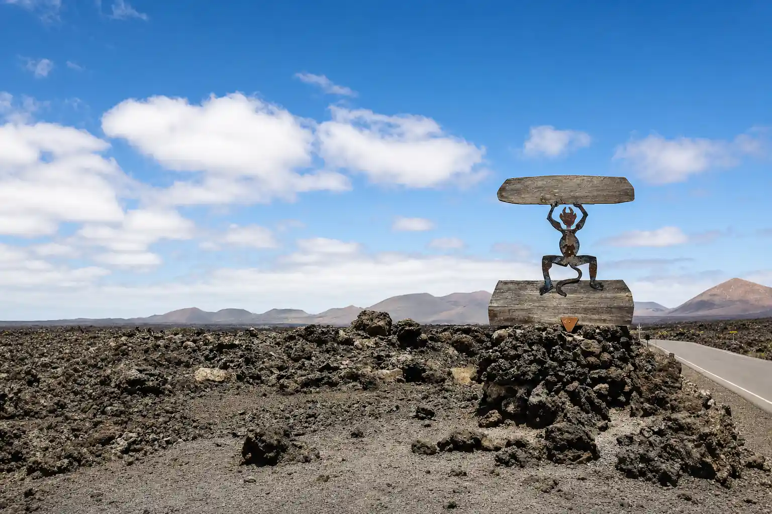
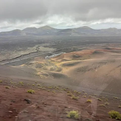
Nowadays, on the surface the temperatures reach around 250 ºC, and they can even reach more than 600 ºC, 13 m deep.
Is Timanfaya still active? Yes, in the way that matters to a visitor
Prepare for the day
- A standard adult entrance ticket for Montañas del Fuego costs 30.00 EUR[4]
- Independent entry tickets are sold online only, for a specific time slot[5]
- Puerto del Carmen and Timanfaya are about 22 km apart directly, 23.5 km by road[11]
- Bus line 60 passes through Yaiza on its route between Arrecife and Playa Blanca[12]
Is Timanfaya Still Active Today?
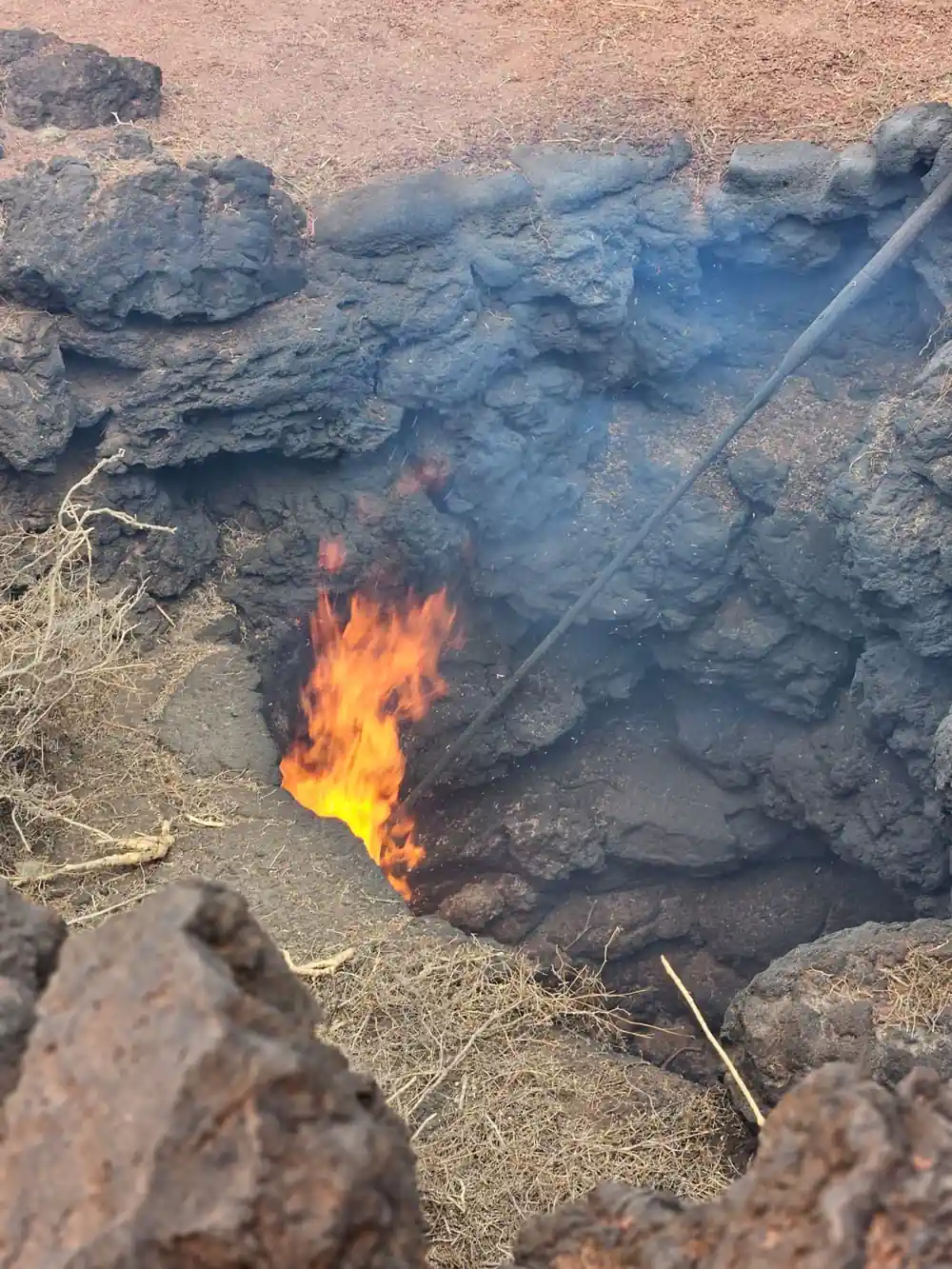
Stand at the viewing area on the Islote de Hilario and the question answers itself for a moment. A ranger tips a bundle of dry brush into a crack in the ground and it catches alight; water poured into a vent comes straight back as a column of steam. Nothing is burning down there. The rock is simply still hot, and it has stayed hot since the eruptions that built this corner of Lanzarote.
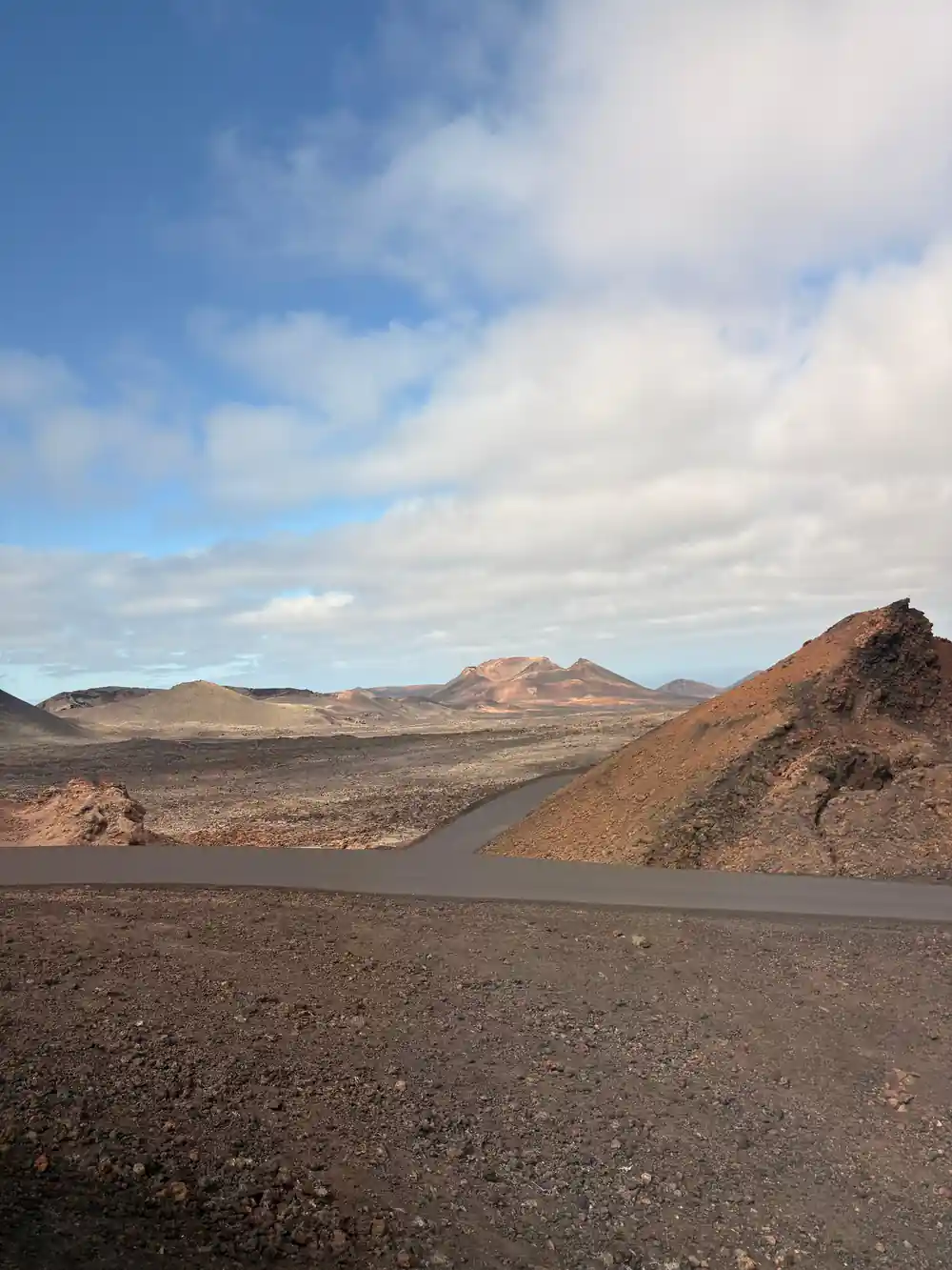
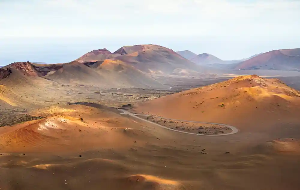
Timanfaya volcano national park protects a landscape that looks freshly made: ash fields in black, grey and ochre, lava ropes and ridges, and cones whose slopes have not yet been softened by soil or scrub. The protected area covers about 51 square kilometers (20 square miles).[15] It was given National Park status by a decree of August 9, 1974, published in the Official State Gazette on September 17, 1974.[3]
Geologists use the word dormant for ground like this: quiet now, warm below, and still capable of erupting again one day. That is the honest answer to the title question. Timanfaya is not a spent, cold cinder cone, and it is not erupting at the moment either. The park exists so that people can see this landscape without wearing it away.
When Did Lanzarote Last Erupt?
The eruption that built the Fire Mountains ran through the 1730-1736 eruptive period.[2] For the people living here it was a slow catastrophe, with farmland and villages disappearing under lava and ash and families rebuilding elsewhere on the island. The Termesana Route is built around that story, putting walkers close to the volcano and to the culture of Lanzarote's inhabitants during those years.
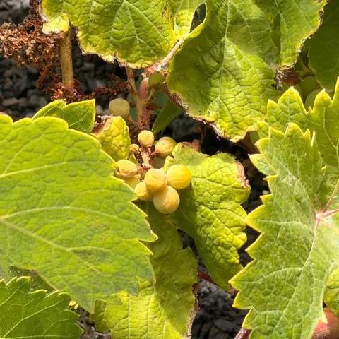
Lanzarote has erupted since then, in shorter and smaller episodes, but nothing on that scale has happened again within living memory. The islanders adapted. They learned to grow vines in hollows scooped out of volcanic ash, built their houses around the cones rather than on them, and turned the burnt ground back into farmland wherever the rock allowed it.
The bare ground has also stood in for other worlds on film. Several films inspired by other planets have been shot in Timanfaya, including Enemy Mine, Krull, Mission Stardust, Stranded and Operation Ganymed.[16] It is easy to see why a director would reach for this valley when they needed a surface that looks like nowhere on Earth.
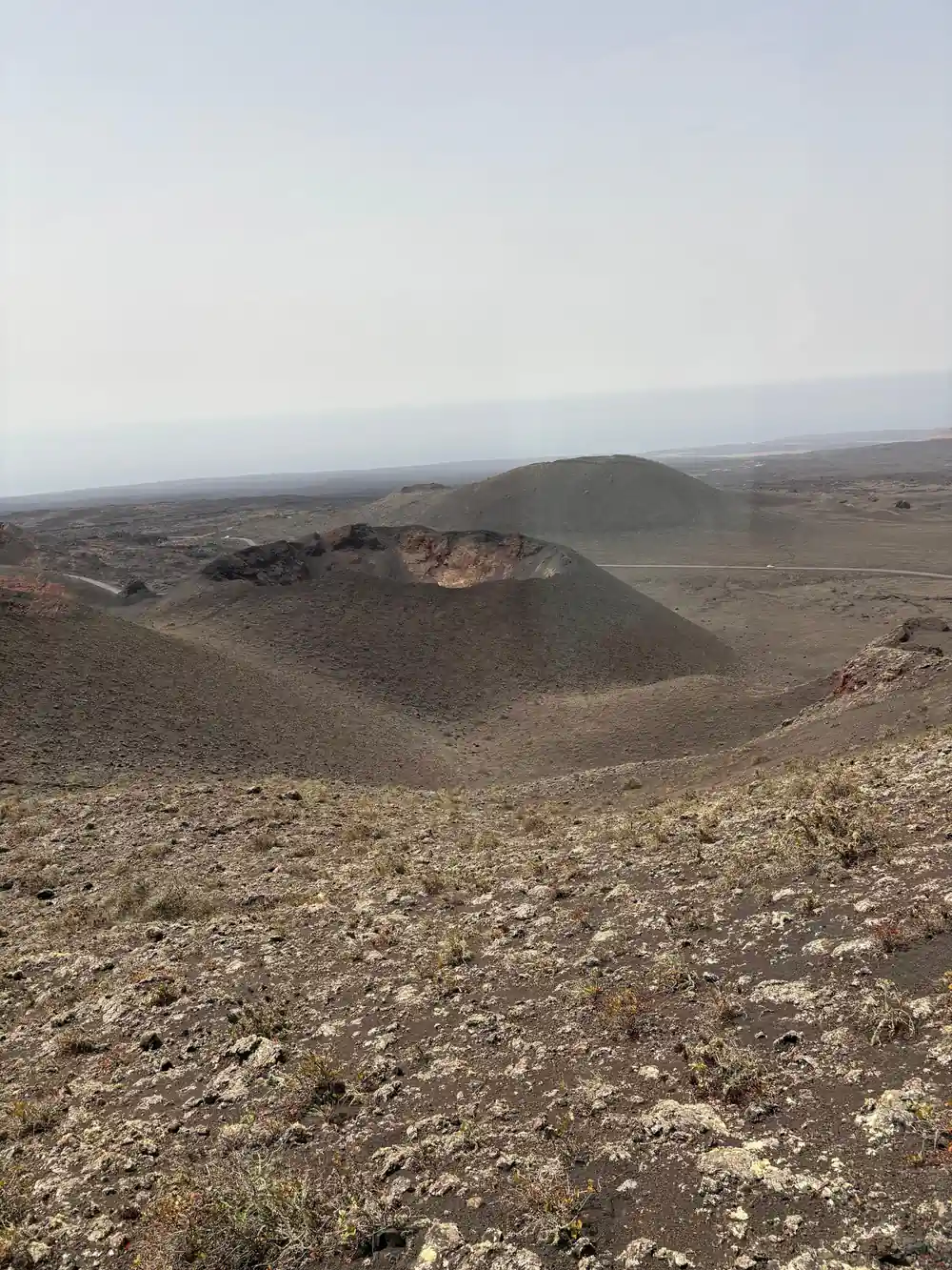
Steam and warm rock at the Islote de Hilario, where the heat never left.
Is Timanfaya an Active Volcano?
There is no single agreed dividing line between active, dormant and extinct. Volcanologists argue about how long a volcano has to stay quiet before it counts as finished, and labels get revised as knowledge improves. What matters in the field is whether a system still has heat and melt beneath it, and whether anyone is watching it closely.
The Canary Islands sit on young oceanic crust, and every island in the chain was raised by eruptions from below. Lanzarote's volcanic rocks are young in geological terms, and the temperatures measured at Islote de Hilario show that the plumbing under the Fire Mountains has not cooled down yet. This is a living volcanic landscape rather than a fossil one.
Some guidebooks and tour listings call Timanfaya active, others prefer dormant, and both are describing the same reality. For a visitor the practical advice does not change. Enjoy the park, stay within the marked areas, keep an eye on children near the hot ground, and listen to what your guide tells you.
The Heat Beneath the Islote de Hilario
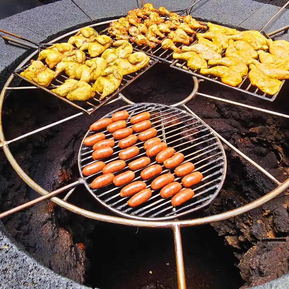
The heat anomaly is the park's best known demonstration, and it is genuine rather than theatre. On the surface at Islote de Hilario the temperatures reach around 250 ºC, and they can even reach more than 600 ºC 13 m deep.[1] A few steps away, in a stone structure beside the dining area at El Diablo Restaurant, that same heat does the cooking.
El Diablo's volcanic oven uses natural heat from the subsoil, where temperatures exceed 600 °C just 15 meters below the surface, and meat and vegetables are cooked without fire or electricity, directly on a grill placed over an open cavity in the rock.[17] It is one of the strangest kitchens you will ever eat in, and it is worth building in time for a meal.
The same shallow heat explains what you watch during the guided stop on the coach route: brush that smoulders the second it touches a vent, and a bucket of water that flashes back as steam. Park staff keep visitors well back from the hottest pockets, and the demonstrations happen in safe, controlled spots with plenty of room to stand.
from US$102
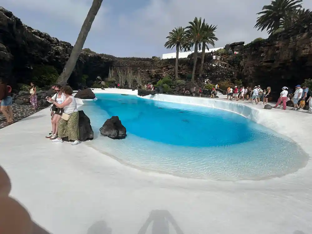
Runs 9 hours with pickup and skip the ticket line, taking in Timanfaya, Cueva de los Verdes and Jameos del Agua.[6]
How Scientists Monitor Volcanic Activity
Watching a volcano is mostly a matter of listening and measuring very small changes. Instruments on and around the island record tiny earthquakes, the way the ground swells and settles, and the gases escaping through the soil. No single reading tells you much on its own. Together, over months and years, they build a picture of what is moving underneath.
In the Canaries that work is shared between Spanish and Canarian scientific institutions, which publish bulletins and alerts when something unusual appears. Satellite radar adds another layer, tracking ground movement across a whole island from orbit. Because the records are continuous, a new pattern usually shows up long before anything can be seen at the surface.
For visitors the point is simple. The park is managed by people who know what normal looks like here, and the access rules exist for a reason. If monitoring ever showed something worrying, the same public channels that carry weather warnings would carry the news, and the park would be closed or restricted.
Could the Fire Mountains Erupt Again, and Is It Safe to Visit?
Nobody can promise that Lanzarote will stay quiet forever, and volcanologists cannot put a date on the next eruption. What can be said is that the island's volcanic system is monitored, that eruptions usually give warning signs in advance, and that the park is run with those possibilities very much in mind.
In practice a visit is a coach ride and a short walk through open country with a guide who knows the terrain. Keep to the paths and viewing areas, stay with your group, and resist the urge to test the ground with your hand. The Route of the Volcanoes has adapted coaches, which helps if steps and rough trails are difficult.[13]
Bring water, a hat, sunglasses and a windproof layer, because the lava plain offers almost no shade and the wind across the ash can be sharp even on a warm day. Most people finish the day surprised by how comfortable the visit was, and by how much of the landscape they can still picture weeks later.
Comparing Lanzarote with La Palma
La Palma's recent eruption is the obvious comparison. Both islands belong to the same Canary chain and both are built of lava, but the style differs. La Palma's eruption sent fast flows down through inhabited country, while the volcanic field here is older, gentler and covered in the ash and rubble that visitors walk and drive through today.
The archipelago as a whole is volcanic, and Spain's highest mountain, Teide, is itself a volcano, rising to 3,715 m.[18] Lanzarote's cones are lower and rounder, shaped by a different kind of eruption and by long weathering. That is one reason the island feels open rather than dramatic: from the road you can take in whole fields of craters at once.
The practical difference for a traveller is what you can actually do here. You ride a coach loop through a protected park, watch the heat demonstrations and go underground into the caves, which is not possible on a fresh lava field. The Timanfaya Visitor Centre in Mancha Blanca gives free access to its exhibition and audiovisual programme, a good primer before or after the coach route.[8]
Heat below the surface
Surface and depth readings at Islote de Hilario[1] and the subsoil temperature beneath El Diablo's volcanic oven[17].
What a day out costs
From prices in US dollars for these GetYourGuide listings[6][9][10][19].
When to book your Timanfaya day
Plan your Timanfaya visit
Decide how to see the park
Drive and join the coach loop yourself, or take a guided day tour that covers the ticket and the timed entry. Tours remove the guesswork from parking.
Book your entry slot
Independent entry tickets are sold online only, for a specific time slot[5], so sort yours before you set off for the park.
Pack for sun and wind
The lava plain is exposed. Bring water, a hat, sunglasses and a light layer for the wind, and wear closed shoes if you plan to walk.
Know what the tour covers
The tour booked from this site runs 9 hours, includes pickup and skips the ticket line.[6]
Leave room for the caves
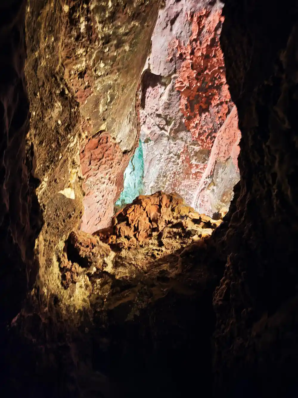
Cueva de los Verdes and Jameos del Agua are both stops on the full day tour and both are underground, so a light jacket is never wasted.[6]
See Timanfaya, Jameos del Agua and Cueva de los Verdes in one day
from US$103Reserve now & pay later